
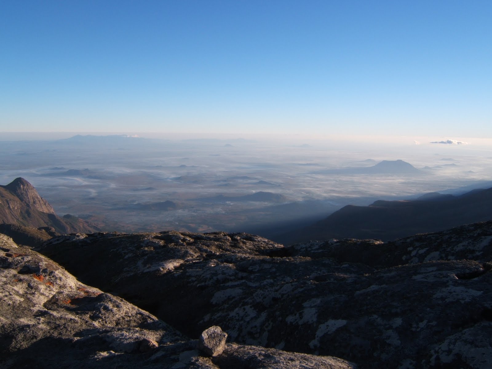
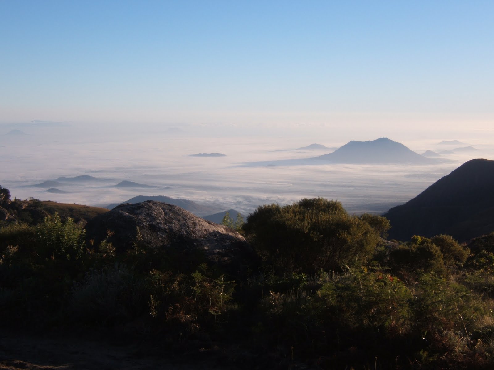
 Dawn mists on the plains, from summit of Sapitwa
 Peaks of the massif, from left: Khuto, Chigaru, Dzole, Namasile, Chinzama?, unnamed?
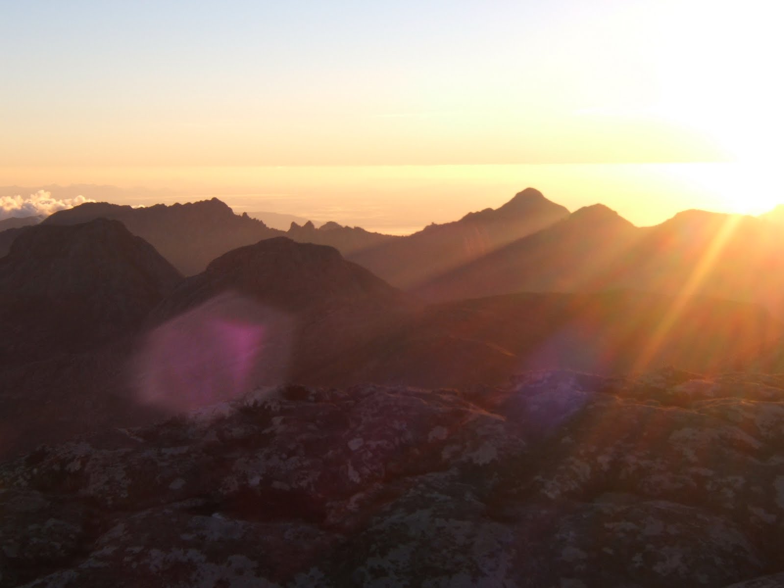
 Chambe peak at dawn from summit of Sapitwa
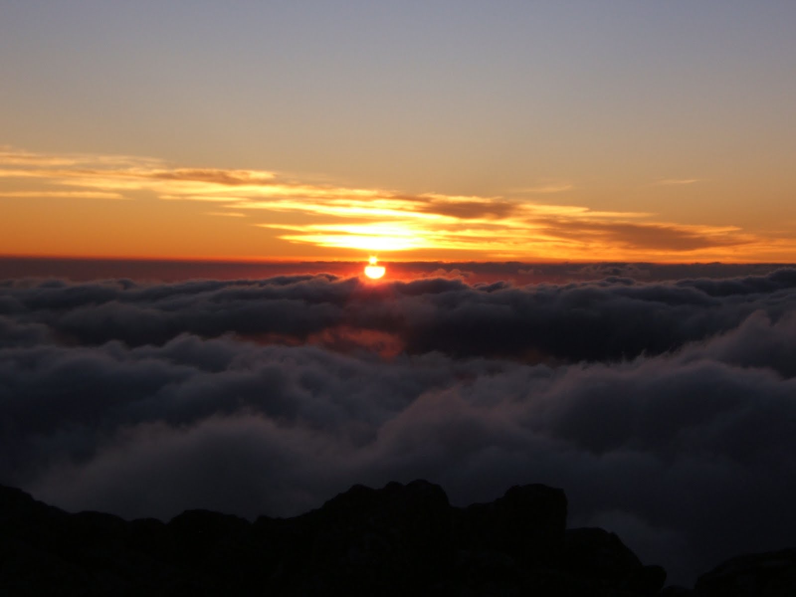
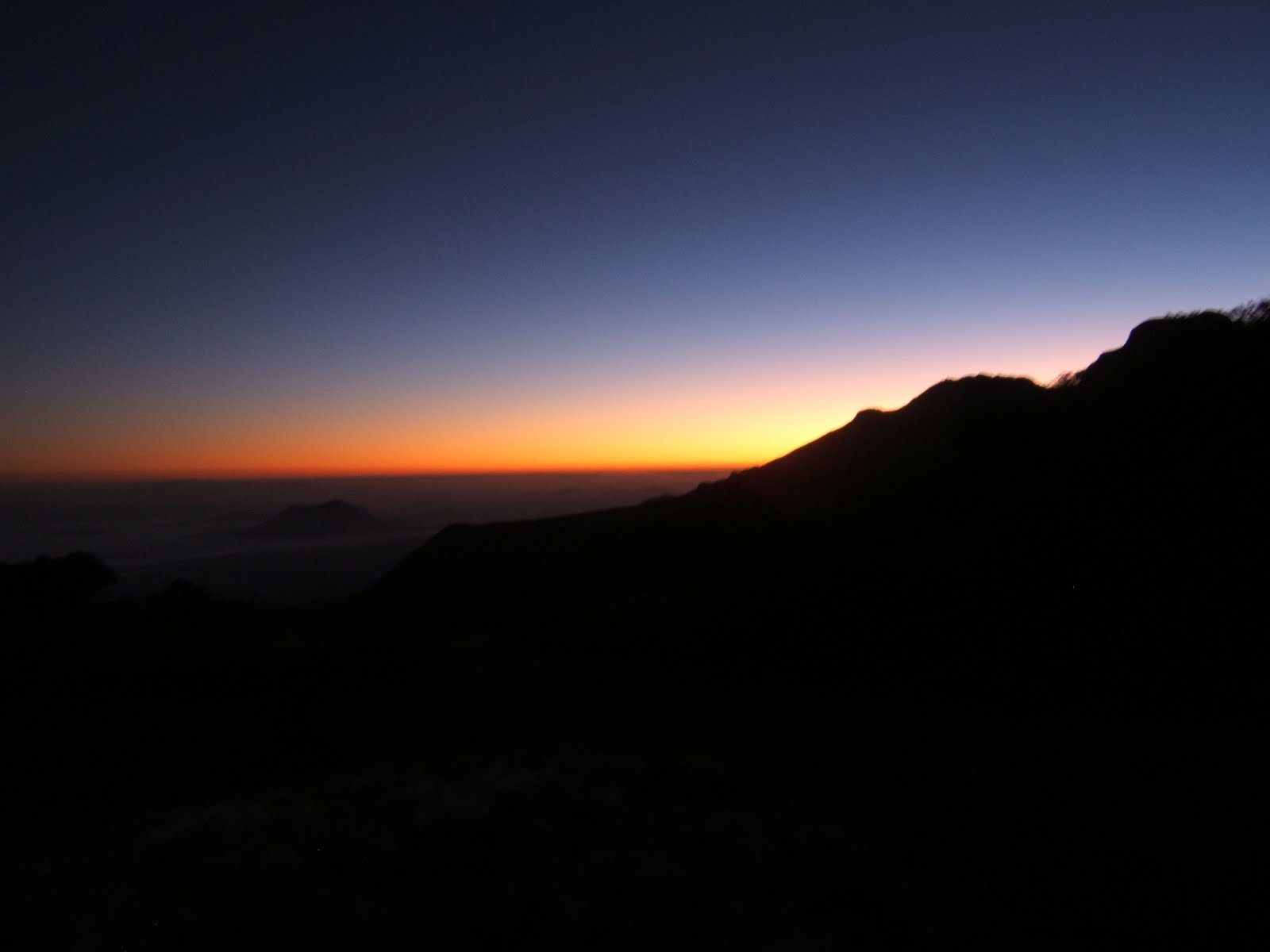
 Sunrise on the summit of Sapitwa
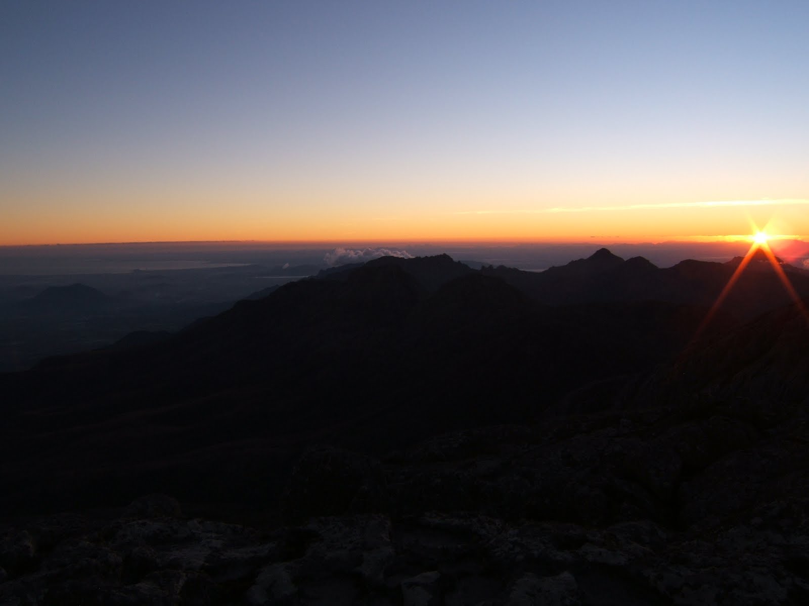
 sunset on the summit of Sapitwa
 self portrait on summit at sunset...chilly!
 Our campsite
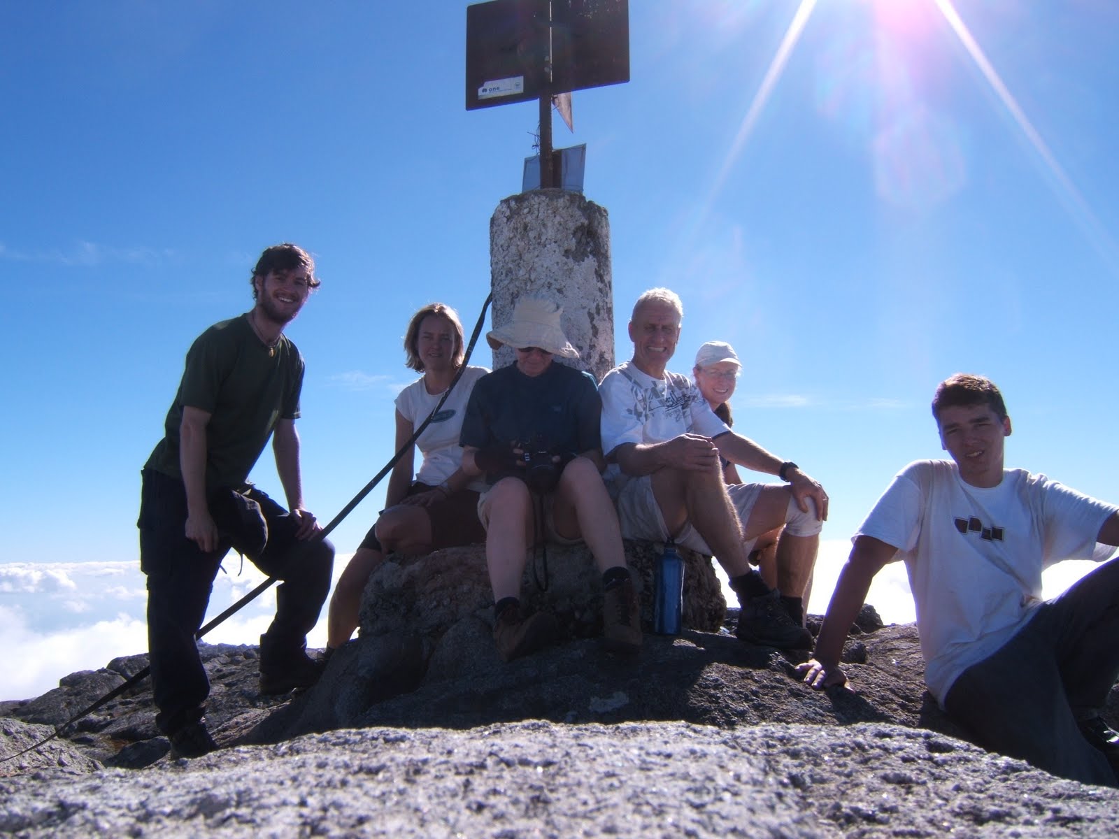 From left: me, J, E, B, A, C
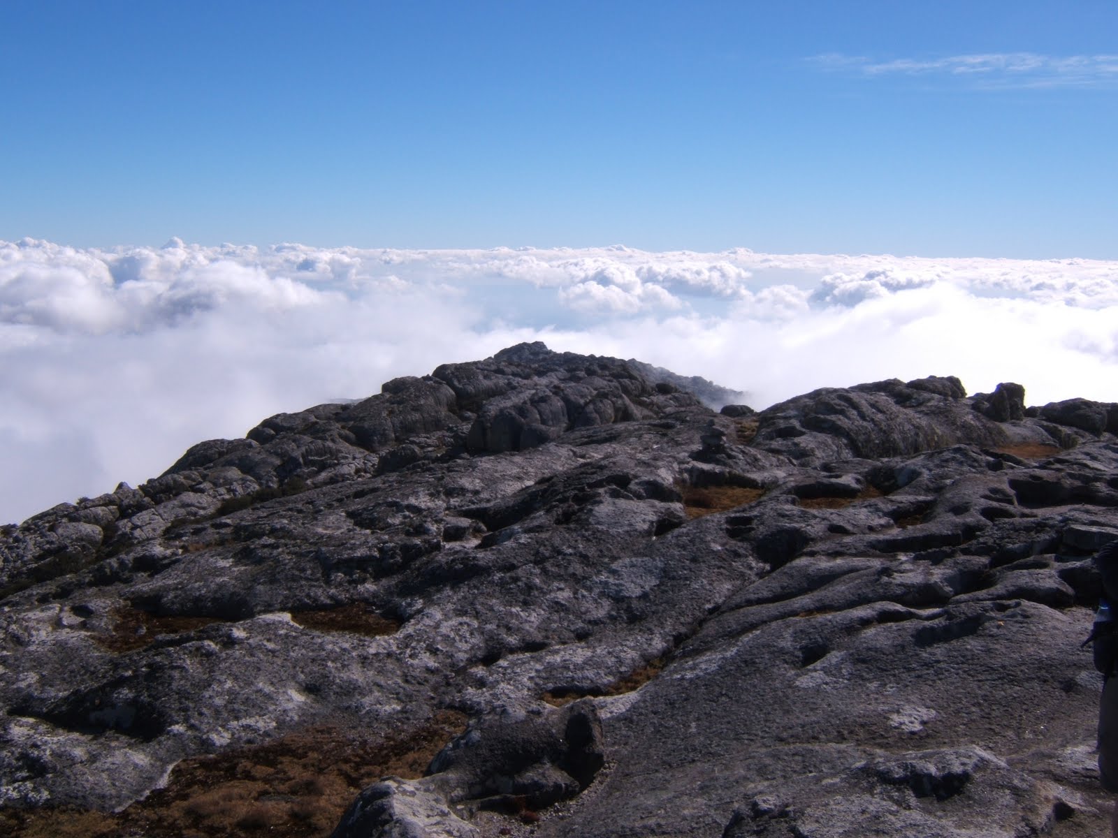 The view from the summit when we arrived - we camped in the grass on the far right
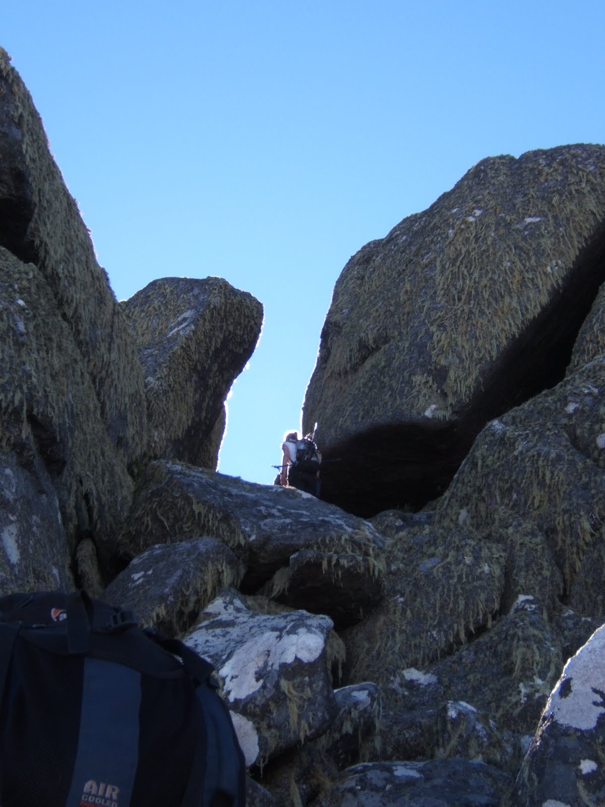 J, and a little of E on the final scramble to the summit
 C, A and a little of B in the dense undergrowth found in gullies on the peak
 Steep slab on the lower slopes - tricky with heavy packs
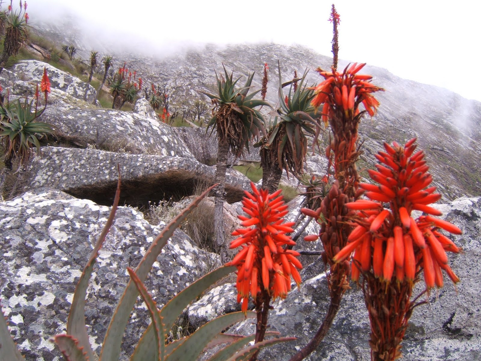 Flowers on the way up the peak - I'm told they are Aloe
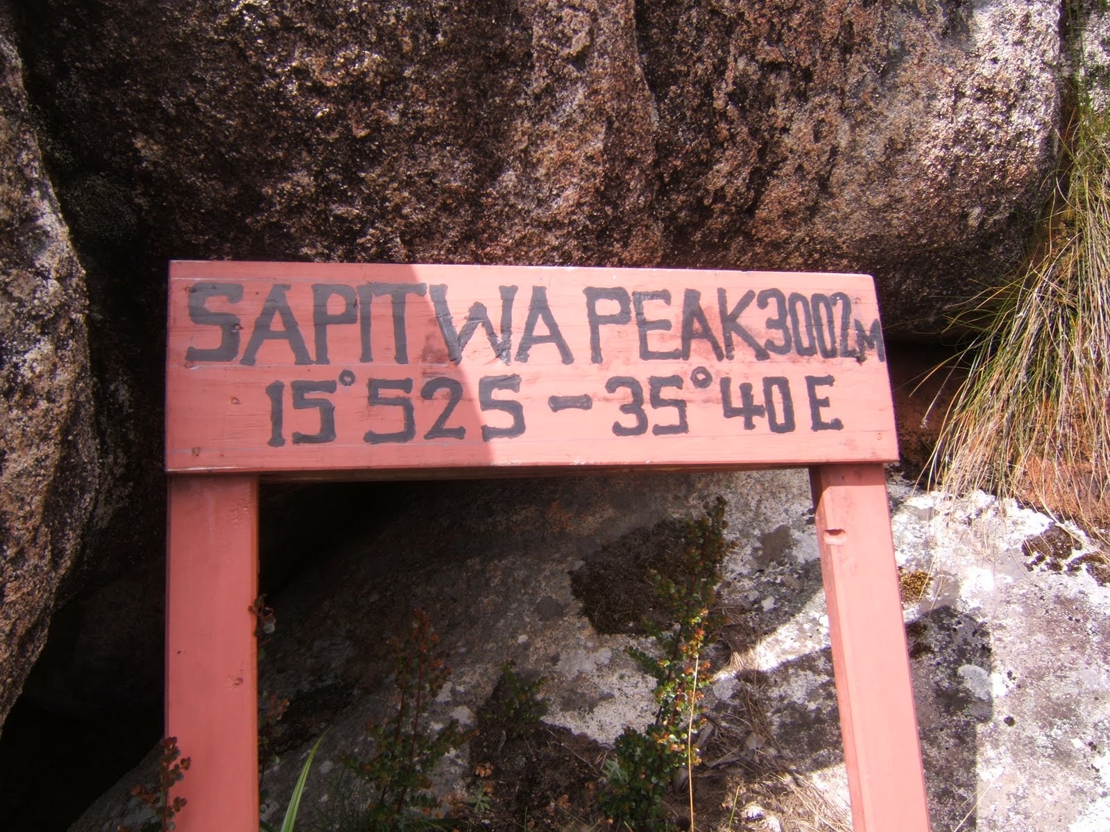 This sign should be on top, but is actually just next to the hut!
 Chisepo hut, with lower slopes of Sapitwa behind
 dawn on the plains, from Chisepo hut
 sunrise from Chisepo hut
 Chambe peak as the sun set while we were still 2 hours from the hut on Friday

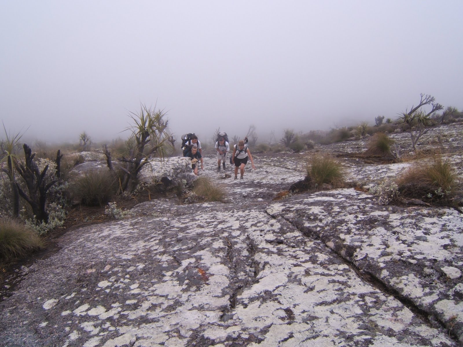
B on the way up, near the bottom
Photos are in reverse order again...sorry!
Last weekend I joined up with the mountain club again for another trip, this time up the 3rd highest peak south of the Sahara (excluding South Africa)…a bit of a convoluted title, but basically it’s by far the biggest thing for miles around.
Sapitwa peak (Sapitwa apparently meaning “don’t go there”) is around 10,000ft and is the high point of the Mulanje plateau. Of course, the “plateau” is not very plateau-like. I think it’s best described as follows: Once you have climbed up 3000ft from the plains, to an altitude of around 6000ft, it is quite like being at sea levels in the West Highlands of
The characters in this story are: B, leader of the group; C, a young lad from
B, C and I set off around 2.30 from the car park at Likabula. B & C had decided to hire porters, as most people do, but I figured I would see what it would be like without their assistance – experimenting in the name of science and so I can advise visitors when they come…Well, I think I would certainly have appreciated a porter, as I ended up carrying over 15kg (carrying communal food, fuel, etc which couldn't fit in the bags for the porters), but as it happened I coped ok, just sweated A LOT!
We took the ‘skyline’ path - so called because of the old cable that runs down from the “plateau” for the forestry operations. The weather was mercifully cloudy and we plodded up an ever steepening path through the woods, passing many beautiful flowers, and with regular views across the valley to Chilemba peak and beyond to the plains and the tea plantations. I continued to sweat.
Having reached the “plateau” in around 90 minutes, we had around an hour and a half of daylight left. We managed to successfully find the ‘short cut’ path which took us through recently felled forestry (the Mulanje Conservation Trust are trying to get rid of pine trees in order to let the endangered Mulanje Cedar take over again) which was disorientating for B, but we made it through and onto the main path again in daylight. A quick snack stop for much needed salts (C was suffering particularly with cramps) and we put on head torches and plodded off, up and over ridges and valleys, past what we think were baboons who made a rather funny noise a bit like the noise produced when you bounce a rock along an icy pond, and eventually arrived at the Chisepo hut at around 7pm. We’d beasted the “6 hour” hike in 4 and a half hours, and boy could I feel it!
A, J and E had left earlier in the morning and taken a more leisurely pace up to the hut. The hut was comfortingly smoky and basic, like so many huts in
We awoke around 5.15 the next morning, thanks to B’s warning of a beautiful sunrise. A leisurely morning of drying sweaty clothes and eating lots of breakfast, then we headed off up to the Sapitwa peak around 10am. A, J and E had porters taking some camping stuff up for them, but C, B and I were carrying quite big packs – which proved a little problematic when it came to some of the tight squeezes between boulders, climbing up narrow gullies, and scrabbling through dense undergrowth. When we left, clouds had rolled in – as they tend to do apparently between 10am and 5pm, but by lunch time we had climbed above them, and remained above them for the rest of the day. We arrived on the summit about 2pm, having taken quite a leisurely pace, and set up the tents on a strip of grass. The rest of the afternoon was spent chatting and either sunbathing or avoiding the sun, depending on sunburnability. The clouds stayed with us until after sunset, but the feeling of being isolated on an island in the sky was lovely.
After sunset we cooked and stared at the fantastically starry sky for as long as we could bear before the cold drove us all into our beds. The time was around 7pm! The night was long, and very cold (down to minus 2 celcius), and the winds were whipping our tents, so most people had disturbed sleep. However, when we dared to head out for the sunrise the wind had dropped and we huddled in our sleeping bags silently watching the African dawn develop for over an hour.
The colours were fantastic, and my camera work cannot do it justice. In all, I took over 130 photos this weekend, but this blog will only allow a small number per post, so if anyone is interested I have many more photos of hills, flowers and sunrises/sunsets which I can show when I get back to the
We headed back down the hill, and got to the hut around 10.15 – 10.30. C by this point was not in a good way. He may have had food poisoning from an inadequately heated meal on the summit, or it may have been sheer exhaustion, but he stopped for a quick vomit near the hut to clear his head. Luckily A had some pills she could give him for his condition, which at least kept him mobile if not particularly happy. He battled on, to his credit, and made it down with B, A and
He perked up a little when we got to the pizzeria in Mulanje town. To my delight Rachel had come out to meet us! She had taken the minibus from town out to Mulanje and arrived about 1 hour before we did. She had spent that time reading at the pizzeria, and enjoying a cool beer.
So, that was my weekend – thanks for reading this far! There are far more details to tell and photos to show (lots of beautiful flowers), but too much for this blog entry, so I will have to try to remember them.
Mulanje looking awesome pal! Camping on the top mustve been epic (and freezing!) Well worth it for the sunrises!
ReplyDeleteLove looking at the stars, hows your astronomy?
PS. I need names! And when you said I, was that you or someone whos name begins with an I??
I = me! sorry, i thought that might have been confusing! yup, was pretty chilly, water was frozen the next morning
ReplyDelete